

Monte Sirino, the southernmost peak of the Lucanian Apennine National Park, is located in the southwestern part of Basilicata close to the Tyrrhenian Sea, between the municipalities of Lauria and Lagonegro. The local ski resort is known for winter tourism thanks to numerous slopes connected to each other by modern ski lifts.
The locality of Monte Sirino is also a popular destination for wildlife and nature tourism, especially in the summer months. Close to the Pollino National Park and not far from the coast of Maratea, the massif constitutes a micro climate and an ideal environment for the habitat of numerous species, some of which are also at risk of extinction such as the wolf, the otter, as well as for numerous other native species of endangered amphibians such as the spectacled salamander (Salamandrina perspicillata) and the Italian crested newt (Triturus carnifex). Of great importance is the heritage of the flora: Sirino, very close to the Tyrrhenian coast, is a limestone mountain with a varied landscape, inhabited over 1000 meters; mountain houses, small farms, tiny chapels, schools, give way to oaks, chestnuts, beeches. The alder, the hornbeam, the white poplar and silver fir find their natural habitat in the densest forests. The walnut stands out above all, probably indigenous. Between 1800 and 2000 meters, some rare species, including, only here, a herb, the Vicia sirinica (Sirino vetch) a leguminous plant which is a relative of the Pyrinean silver vicia which grows only in some areas of Monte Sirino and astragalus, widely used in herbal medicine
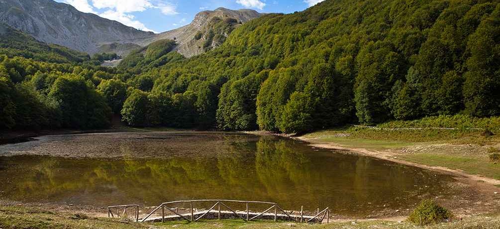
The Remmo or Laudemio lake, located at an altitude of 1,525 m, is the southernmost lake of glacial origin in Italy: extended for just over two hectares and immersed in a thick and high beech forest, the basin was formed following the barrier consisting of the front moraine of a large glacier, which in the Quaternary descended for about four kilometers from the north side of Mount Papa (2,005 m), until it reached Petinachiana.
The Zapano lake (or pond) is also of glacial origin: the basin that delimits it is due to the front moraine of a second glacier which, wedging itself in the Cacciatore valley, descended from the north western side of Mount Sirino (1,907 m). a smaller glacier occupied the Niello valley, moving from the southern slope of Mount Papa.
Located on the slopes of the massif, at an altitude of 788 m and with an area of about five hectares (variable according to rainfall), Lake Sirino is a typical barrier lake that takes on an irregularly elliptical shape. Its clear waters are fed by a small source upstream, abundant rains and small outcrops arising from the south western side of the mountain.
Among the geological formations visible to the naked eye, the "potholes of the giants" are interesting, huge invaded rock resulting from erosion.
