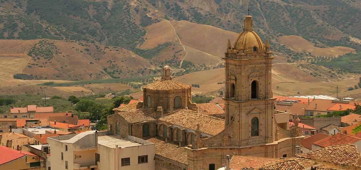


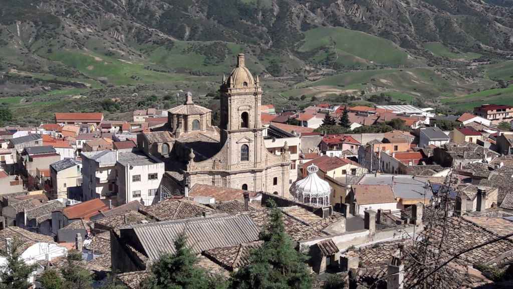
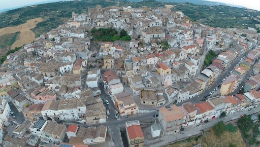
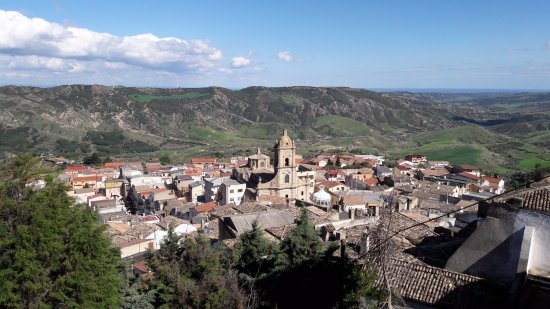
The small center of Pomarico has an elongated shape with the historic center in a dominant position over the canyons that surround it. The top is dominated by the ruins of an old castle while the oldest and most abandoned part is located on the north side of the hill. Walking through these abandoned alleys gives the same sensations as walking through the Sassi of Matera when they were in a state of complete abandonment.
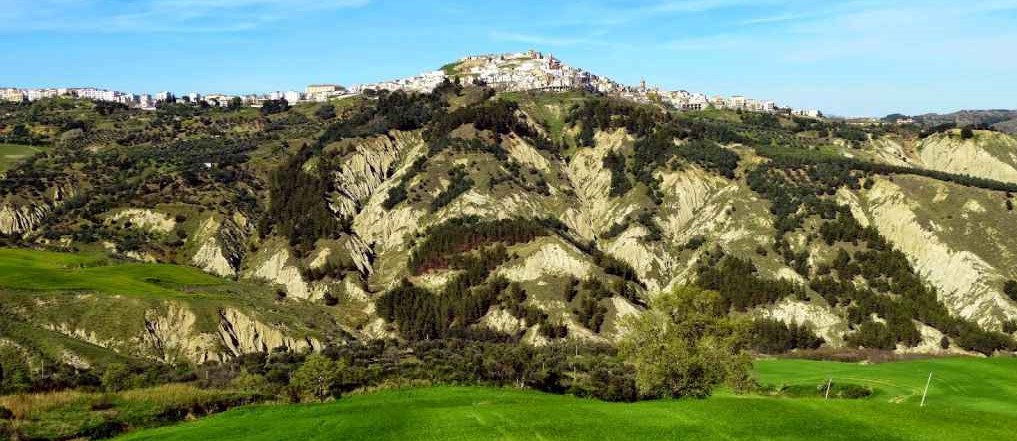
The churches of the historic center, although being Roman-Catholic, show architectural signs of Byzantine origin. The landslides, common to the whole territory characterized by marly-clayey formations of the Bradanica Foresees, threaten the small Pomarico and new neighborhoods have been built in the vicinity of the Manferrara Soprano Wood.
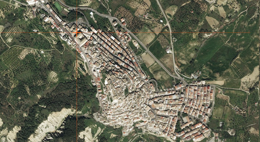
Ancient historic center, sometimes erroneously indicated with the toponym of Castro Cicurio, is located as the crow flies 5 km S of the municipality of Pomarico Nuovo (Matera). Located at 400 m a.s.l., it occupies the flat top of a hill, also called S. Giacomo, to the left of the Basento and is 23 km from the Greek pòlis of Metaponto. The indigenous settlement, dating back at least to the second half of the 6th century BC, saw its greatest development between the fourth and third centuries BC. The settlement area consists of a pyriform space of about 330 m in the N-S direction and of about 200 m in the E-O direction, surrounded by a wall, built in the second half of the fourth century. B.C. with double facing in local sandstone slabs with èmplekton, in which the sections of the curtain (today partly collapsed) alternate powerful square towers.
This isolated hill, which allows complete visibility of the surrounding valleys, offered in antiquity the optimal characteristics for a inhabited center, allowing easy control of the penetration routes inwards.
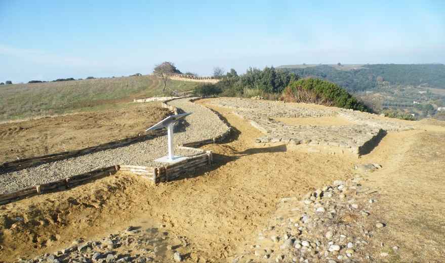
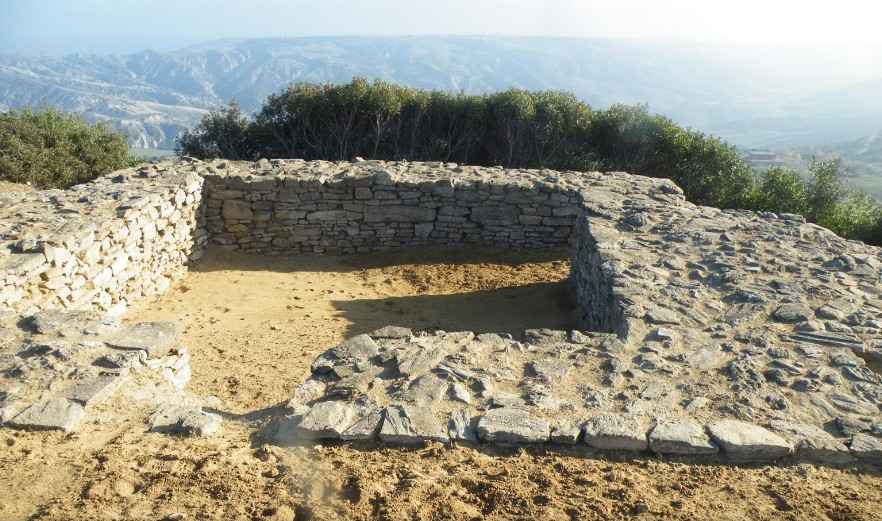
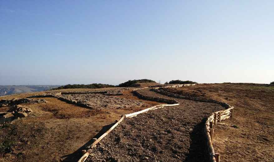
The most significant discovery, however, is the evidence of an urban plan designed in a single moment. This at least suggests the constant orientation of the structures, the homogeneity of the building technique, and the uniformity of the size of the streets and blocks. It therefore seems legitimate to hypothesize a public intervention of considerable commitment and the existence of a relevant authority, capable of guaranteeing the construction of the plant itself. The number of people who occupied the relatively small space of the plateau, about 5 ha, could grow by including that of the areas outside the walls, in which we can imagine small scattered nuclei, reduced agglomerations or farms, as they seem to suggest, for example, some finds (òstraka) in the nearby locality of Lama di Palio.
The inhabited area, abandoned in the second half of the III century BC, saw a new occupation, so far documented only by a tomb and ceramic material, in the Middle Ages.
